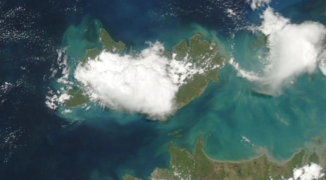
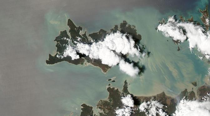
I am currently residing in Darwin, Australia, and figured it is about time that I write a post briefly explaining the ridiculousness I am up to. Basically it involves a LOT of hanging around in a coastal park in Nightcliff. HECTIME stands (loosely) for the HEctor the Convector TIme-lapse and Modelling Experiment. Hector is the name for a large thunderstorm, or thunderstorm complex that develops over the Tiwi Islands (Northern Territory, Australia) on most afternoons during the pre-monsoon season – October-November-December. Continue reading HECTIME – A brief introduction→
This post contains links relating to forecasting and viewing the Hector thunderstorm that forms over the Tiwi Islands in the Northern Territory, Australia. Here is the wiki page for some background. For information on comparing time-lapses with weather model simulations of Hector see here.
I’ll start this post by sharing some time lapses (above) from this great storm chase day put together to the track Default by Atoms for Peace. Please select 1080p option pump up the volume and go fullscreen (sounds like a philosophy for life ;D). Continue reading The Echuca storm chase→
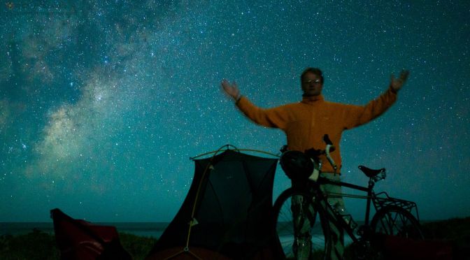
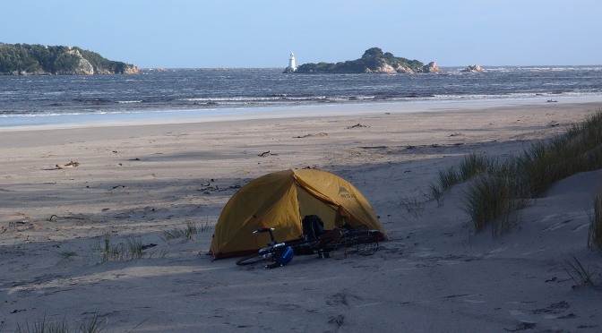
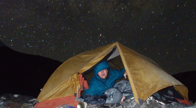
Occasionally there are mornings where you wake up into a world that you had no idea you were in. This was one of those mornings. On opening my tent I was amazed to see the location I was in. Continue reading Tasmania winter bike tour – day 5→
What a spectacular place to wake up in, right below Cradle Mountain, I had slept well and was now ready to head west. A nice coat of frost had built up on the tent. Continue reading Tasmania winter bike tour – day 3→
Woke up to a frosty clear morning and the sound of distant dogs. It sounded like those darn canines were getting closer, I guessed it was a hunting party. Continue reading Tasmania winter bike tour – day 2→
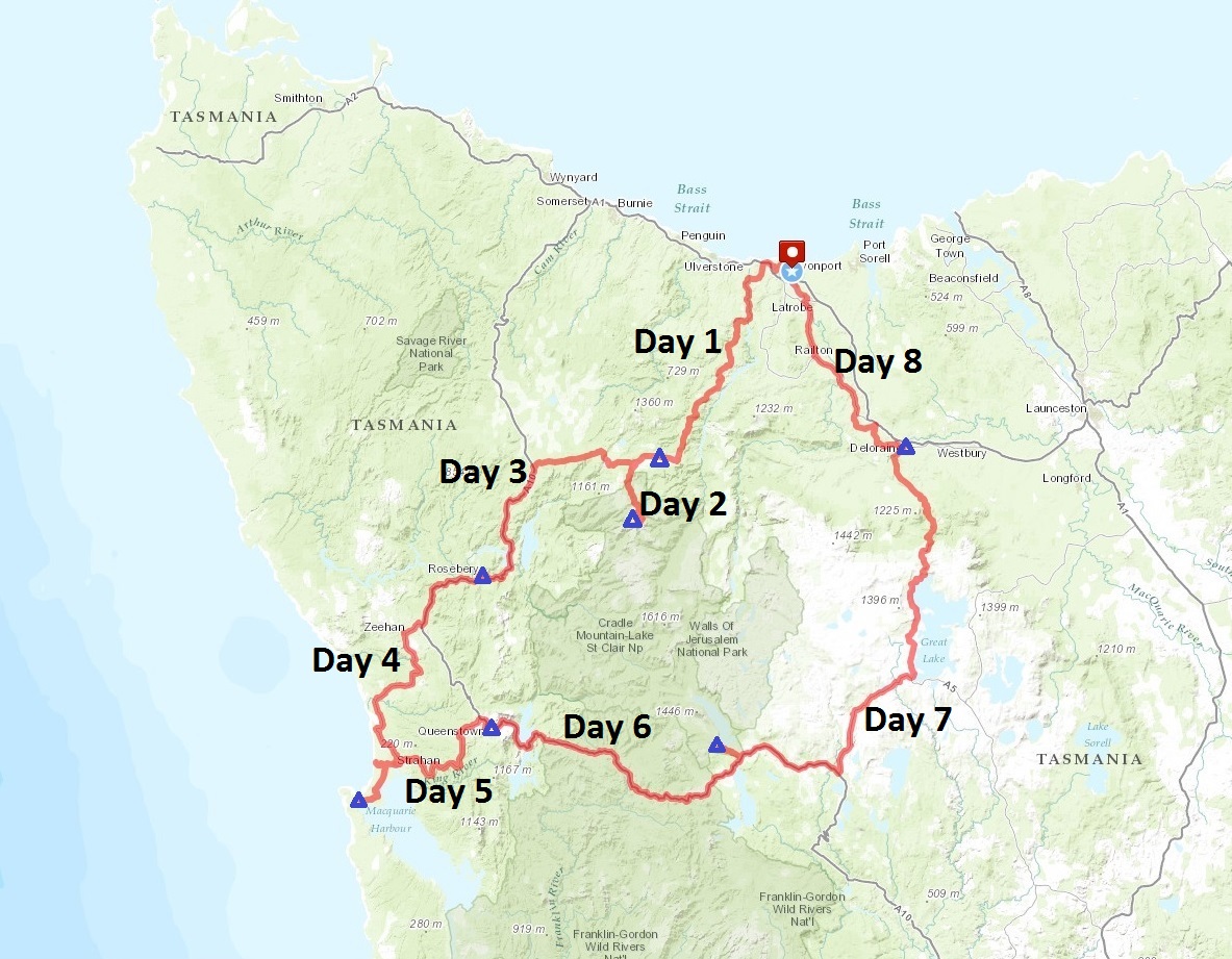
This is the beginning of a write up of an 8 day bike tour I took in August 2012 in Tasmania. I ended up taking a loop around the west coast and back across the centre, with a start and end at Devonport on the north coast. For the first half of the trip I was uncertain about completing the loop back across the elevated plateau because of the potential for snow. The complete route is shown on the map below with the places where I spent the night as blue triangles. Also a kml file is here if you want to see it on Google Earth. Links to the write up for each of the days are below: